|

|
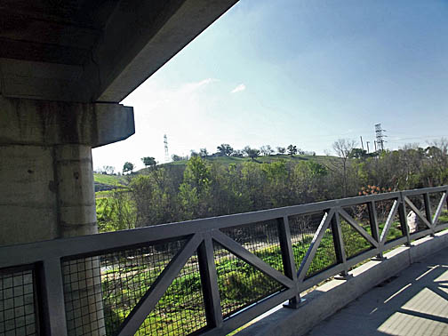
| Looking up at Old Lorena Road from the trail. | |
|
|
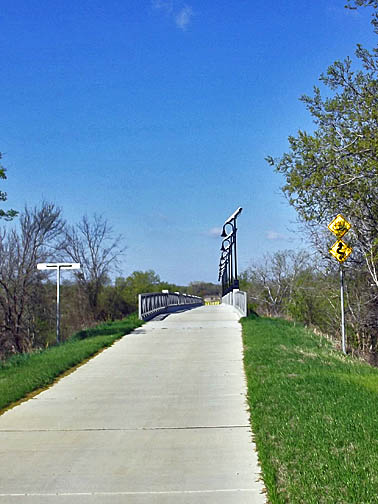
| Cotton Belt Trail Bridge over the North Bosque. |
|

| |
|
|
|

|
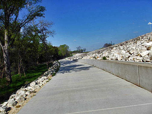
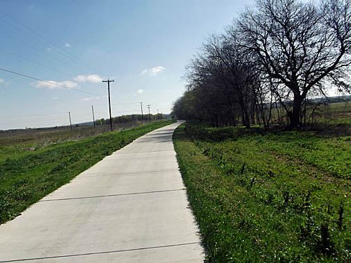
| View of the trail ahead as it curves under Old Lorena Road. | |
|
|
| Carol with the sign on the bridge. |
|

| |
|
|
|
|
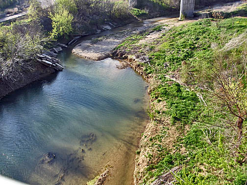
| Looking down at the North Bosque River. | |
|
|
| A business along the trail. |
|

| |
|
|
 |
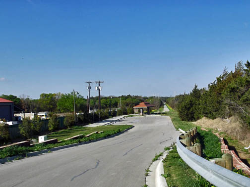
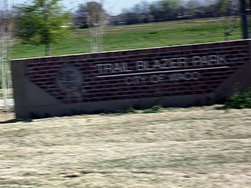
| We walked out to the road to view the entrance. | |
|
|
| The landfill area on the left beyond the fence. |
|
| |
|
|
|
|
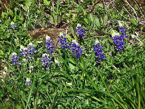
| Bluebonnets were blooming along the trail. | |
|
|
Returning over the bridge.
Appears to be lighted by solar panels. |
|
| |
|
|
|
|
| Under the Old Lorena Road. | |
|
|
| Coming back to where the car is parked. |
|
| |
|
|
|
|
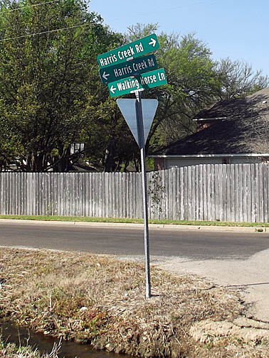
| Street signs out past the other trailhead. | |
|
|
Returning to the trailhead.
Entrance calls this Trail Blazer Park. |
|
| |
|
|
|
|
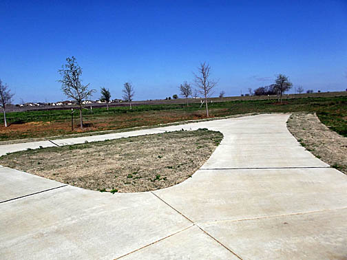
| Part of the round trail at the park. | |
|
|
| Walking back toward the car again. |
|
| |
|
|
|
|
|
|